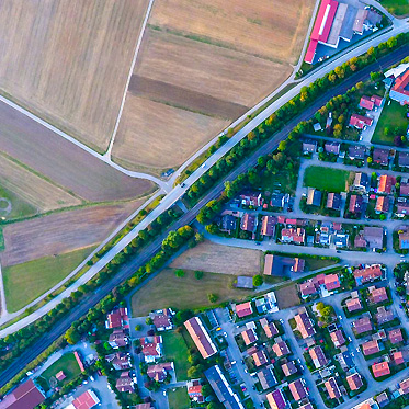
Land Administration and Mapping
Supporting decision-making with up-to-date spatial information about land development and urban areas.
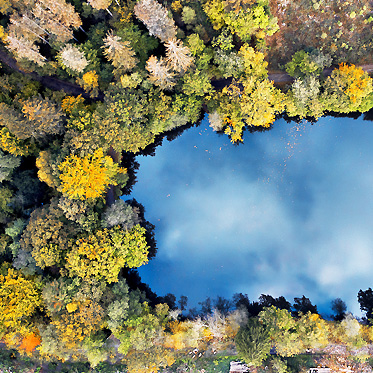
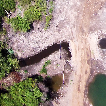
Environment & Conservation
Easiest way to monitor natural resources and save our planet for future generations.
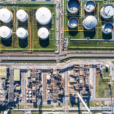
Energy conservation
Monitor your infrastructure to improve efficiency, reduce costs and mitigate risks.
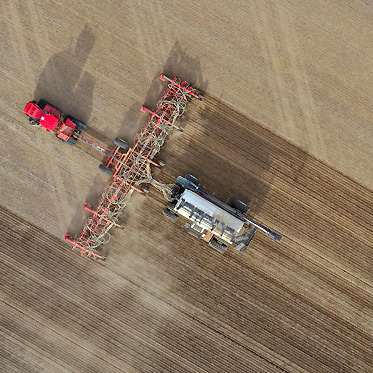
Agriculture
Helping agricultural enterprises make better decisions through crop monitoring and agricultural management.
Disaster & Humanitarian
Reliable and rapid information for risk assessment and effective decision-making.

E- Sensing
We offer a wide range of activities in the field of Earth Observation education, training and capacity building.