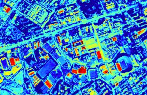
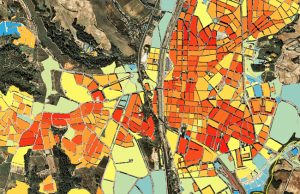
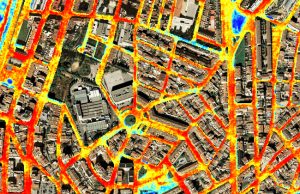
Applications: Heat effects on health, Green urban areas management, Biodiversity management, Heat material studies
Benefits: Quick defect detection, Easy map reading, Reduce field works, Quick reaction at climate thermal waves
USERS: Local Governments, Auditing Companies, Agencies of Control, Environment and Houses Departments
The aggravating urban thermal environment has considerable adverse effects on urban physical environment, energy consumption, and public health. Our main objectives are to quantify the thermal response of specific land cover types driving the thermal patterns, and to assess the effectiveness of examining the thermal pattern at different resolution scale.
Visibird thermal mapping provides an intelligent thermographic special data allow to quantify the thermal pattern and emissivity of interest areas. In this way it is possible to show the amount of energy leaks devoted to roads and buildings for cities and local municipalities. With regard to locate the excessive or inefficient heating or cooling for potential energy saving, pinpoint areas of heat storage as well as fresh areas due to the vegetation effect. This is a valuable tool for municipal planning methods for the reduction of heat islands and discover the material pollution covers areas by both private and public elements.


