Singapore National Environmental Agency
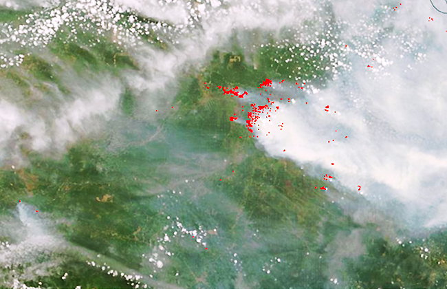
Project Title: EO for Forest Fires Hotspot Detection Funding body:

We empower you with access to one of the world's premier networks of satellite data providers, offering a vast array of imagery products at competitive prices for your specific needs.

We deliver comprehensive, accurate, repeatable and timely global information that is crucial for effectively planning, implementing, monitoring, and evaluating development assistance activities.

We leverage the most advanced analytical methods and algorithms to provide insights and answers to complex geographic questions through comprehensive map data analysis.

We assist in using machine learning to uncover key insights from satellite imagery, solving complex global issues, and providing decision-makers with information to make strategic resource allocation decisions.
Project Title: EO for Forest Fires Hotspot Detection Funding body:
Project Title: The Development of a Platform for the Prospective
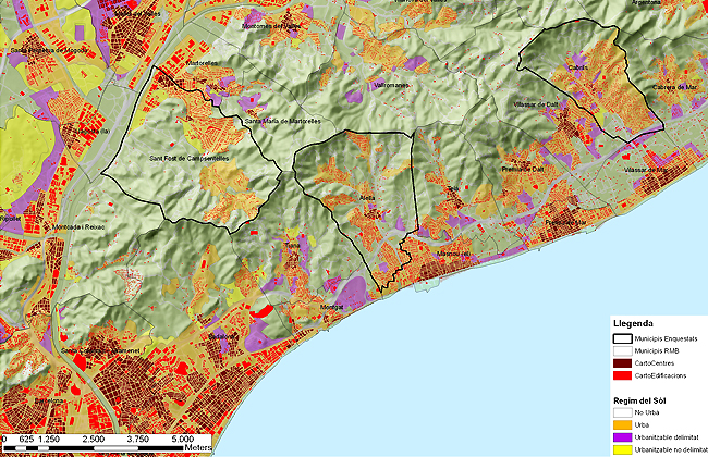
Project Title: 20 urban landscapes Funding body: The Spanish Ministry
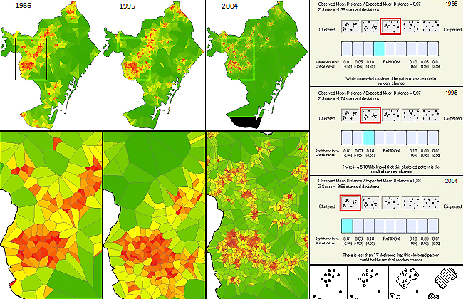
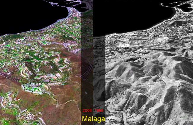
Project Title: The process of urbanization on the Mediterranean coast.