Satellite Imagery
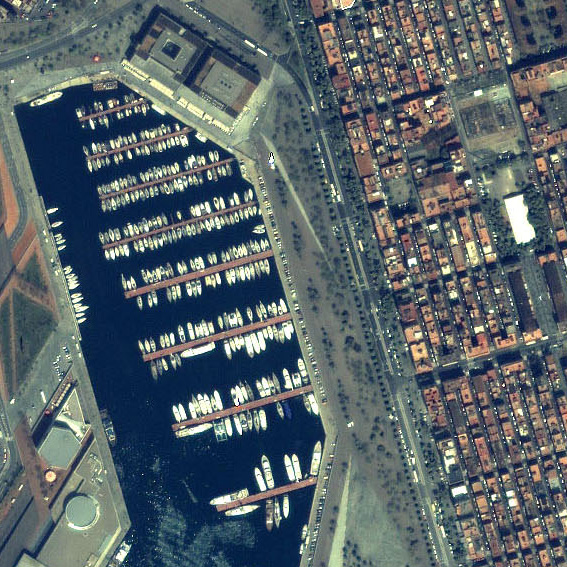
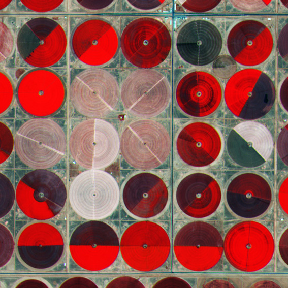
Different satellites carry different sensors – therefore, they vary in provided services. We guide you to access one of the largest networks of satellite data providers in the world. No matter what level of Earth Observation experience you have, we can help expand your knowledge if you’re new to this field. Contact us to find the right optical imagery and data provider for your services.
Images Spatial Resolution
- All
- Super High 0.30-0.55m
- Very High 0.56-0.99m
- High 1.0-5.0m
- Medium 5.1-10.0m
- Low 10.1-80m
Subscribe to our newsletter
We value your privacy. Our Privacy Policy sets out how Visibird handles your personal information, and your rights to object to your personal information being used for marketing to you or being processed as part of our business.

