Project Title: 20 urban landscapes
Funding body: The Spanish Ministry of Housing
Previous slide
Next slide
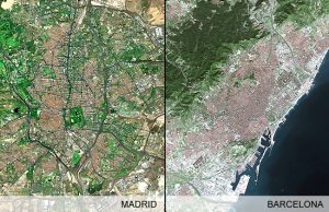
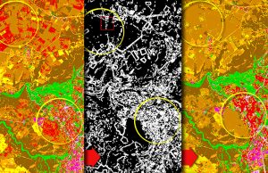
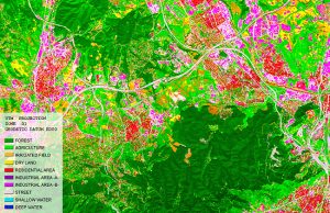
Project description: The project examines the growth in land consumption rate of 20 urban landscapes in Spain over a period of 50 years, from 1956 to 2006 for several reasons:
- In 2006 it met 50 years since the enactment of the first Soil Law, which set a model of urban planning and management in which we rooted;
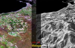
- In 2006 it also played 50 years of photographic flight carried out by the Army of the United States and made on the Spanish peninsula and the Balearic Islands (known as “American flight”);
- And in 2006 it also starts the formal processing of a new Soil Law which was finally approved in 2007.
The project area comprise 18 urban landscapes in Spain, which include some 120 municipalities, with a total area of 10,686 km2, an urbanized area of 1747 km2 and with a total population of 13,702,113 inhabitants.
The project is submitted jointly by the Universitat Politècnica de Catalunya (UPC) through its Centre de Política de Sòl I Valoracions (CPSV) – Spain.

