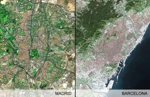
Project Title: Barcelona and Madrid: Two convergent models of urbanization.
Funding body: The Spanish Minister for Science and Innovation (MCIN)
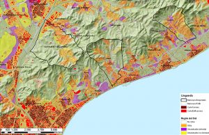
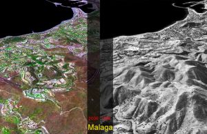
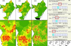
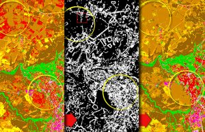
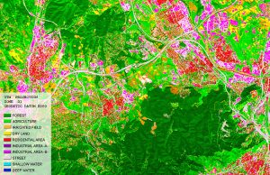
Project description: The project draws upon research focused upon the urban expansion of Madrid and Barcelona, which uses interpretation of SPOT satellite imageries to apply a methodology based upon applying criteria of urban continuity on the edge of large urban areas, to determine the spatial extent of the core and periphery of such urban areas. The resulting morphological centers and urban or metropolitan peripheries provide useful units of analysis, permitting viable comparison between different urban agglomerations. The main project objectives:
- Development of a methodology for the classification of satellite imagery, allowing for the interpretation of urban morphology at the spatial scale of the municipalities.
- Quantification of urbanization as well as land consumption experienced in the period 1986-2004, for the two metropolitan areas of Madrid and Barcelona, broken down to a municipal spatial scale.
- Functional delimitation of the metropolitan areas of Madrid and Barcelona according to data from the 2001 Census of Population.
The project is submitted jointly by the Universitat Politècnica de Catalunya (UPC) through its Centre de Política de Sòl I Valoracions (CPSV) – Spain.