Applications: Water quality analysis, Groundwater contamination, Ecological impacts, Biological indicators, Environmental monitoring
Benefits: Ease decision making, Map updating, Continuous monitoring, Detailed information
USERS: Public Agencies, Agencies for the protection of aquatic resources, Tourist Industry
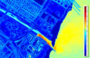
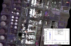
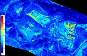
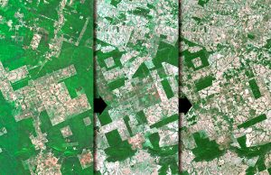
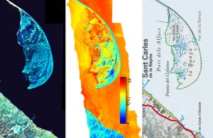
Water quality analysis is generally carried out by traditional techniques of in-situ sampling over relatively small areas at a high labor cost. Aerial photography Satellite images interpretations allow us to obtain a wider area of study being able to individuate pollution sources, manage the affected extensions and monitor them over time. The adverse effects on vegetation or ecological changes might also be monitored.
Visibird provides a valuable tool to detect, monitor affected areas and manage source point pollution of coastal marine waters, rivers and lakes. Prevent possible ecological disasters and damages to the environment that consequently could affect to people.

