Applications: Harbor construction, Coastal protection, Coastline change detection, Future development, Measure and model water runoff
Benefits: Detailed information, Map updating, Clear visual results, Ability to monitor change
USERS: Public and Private Agencies, Environmental Protection Agencies, Tourist Industry
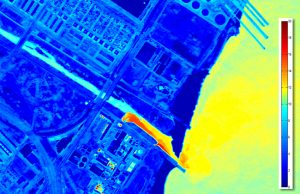
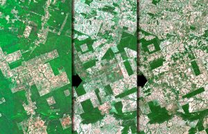
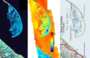
Traditionally Coast line variations in time are obtained by layer stacking conventional cartographic maps, satellite images and aerial photos.
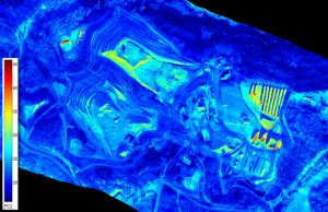
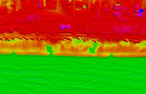
Visibird provides a valuable tool to monitor the fragile coast line variations due to erosion, illegal constructions or any other factor that might influence in the management of coastal areas. Through 2D and 3D sensing with LIDAR (laser pulse) and thermal bands satellite/airborne sensors, the morphology as well as volumetric of coast zone between different flights and episodes can be monitored great accuracy.