Applications: Aids environmental targets, Calculate contamination level and area, Property safety analysis, Management of Uncontrolled hazardous materials, Economic and ecological impacts
Benefits: Detailed information, Map updating, Quick detection & identification
USERS: Local Governments, Auditing Companies, Agencies of Control, Environment Departments
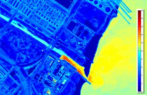
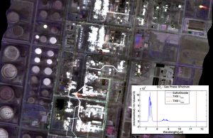
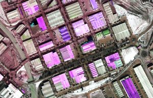
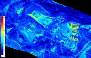
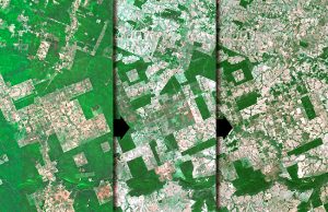
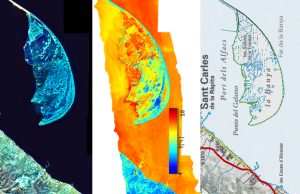
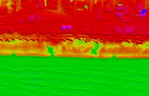
Hazard materials identification is done with the use of specific algorithms for classification in the elaboration and interpretation phase using hyper-spectral data. In order to validate the results in-suit samples are taken. To detect areas with hazardous materials as well as classification of types of roof materials by the use of hyperspectral sensors is an affordable project.
Visibird with routines and processing tools is able to treat this hyperespectral data and detect these hazardous materials areas. The study area is represented in a GIS showing a qualitative and quantitative distribution of hazardous materials. This is a valuable tool to individuate high risk areas for public health. (telling some example of hazardous materials could be interesting, because the customer could identify its needing)


