Singapore National Environmental Agency
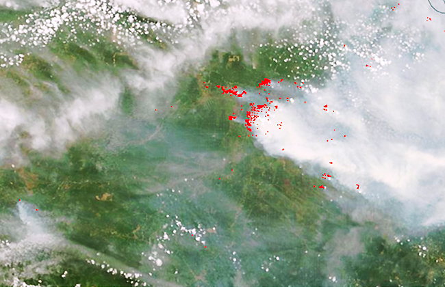
Project Title: EO for Forest Fires Hotspot Detection Funding body:
We task ourselves with capturing and assisting with Earth observation for managing the world in fields such as land cover, environmental issues, the management of natural resources, precision farming, and the sustainable quality of urban life, among others. We have developed products and operational procedures specifically tailored to meet soil economic and environmental conservation needs.

We empower you with access to one of the world's premier networks of satellite data providers, offering a vast array of imagery products at competitive prices for your specific needs.
We deliver comprehensive, accurate, repeatable and timely global information that is crucial for effectively planning, implementing, monitoring, and evaluating development assistance activities.

We leverage the most advanced analytical methods and algorithms to provide insights and answers to complex geographic questions through comprehensive map data analysis.
We assist in using machine learning to uncover key insights from satellite imagery, solving complex global issues, and providing decision-makers with information to make strategic resource allocation decisions.
We drive operational improvements, enhance business strategy, negotiate market challenges, and revitalize customer experience with our industry solutions.
We value your privacy. Our Privacy Policy sets out how Visibird handles your personal information, and your rights to object to your personal information being used for marketing to you or being processed as part of our business.

Project Title: EO for Forest Fires Hotspot Detection Funding body:
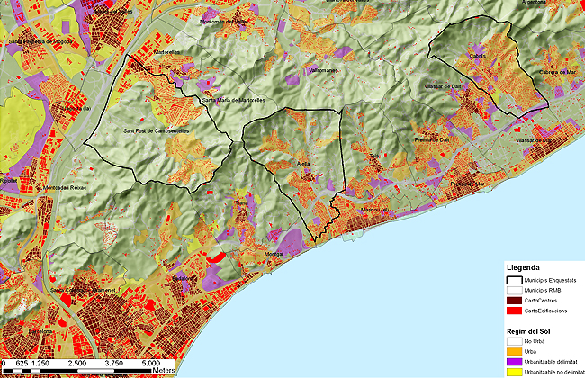
Project Title: The Development of a Platform for the Prospective
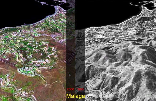
Project Title: 20 urban landscapes Funding body: The Spanish Ministry
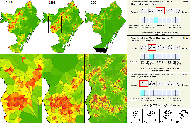
Project Title: The process of urbanization on the Mediterranean coast.